Construction & Progress Management
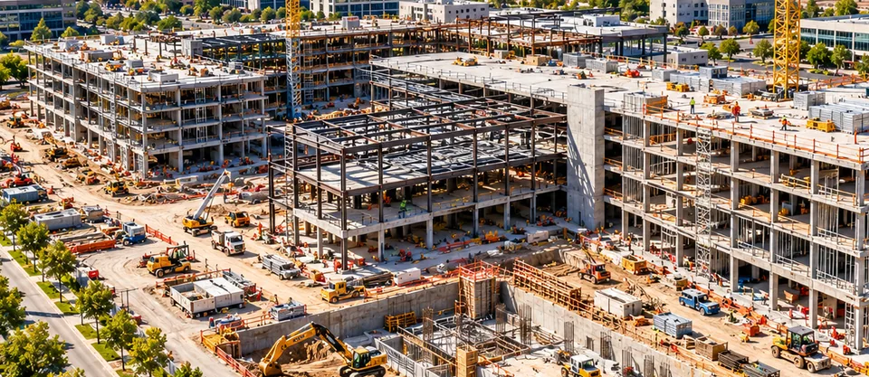
Dated aerial records of site progress, with mapping and volume measurements for project teams, owners, and lenders.

Drone | Mapping | Thermal | Environment | Geospatial Solutions
Drone imagery, mapping, and thermal inspection for commercial property, construction, solar, and industrial sites.
Our core services
Dated aerial records of site progress, with mapping and volume measurements for project teams, owners, and lenders.
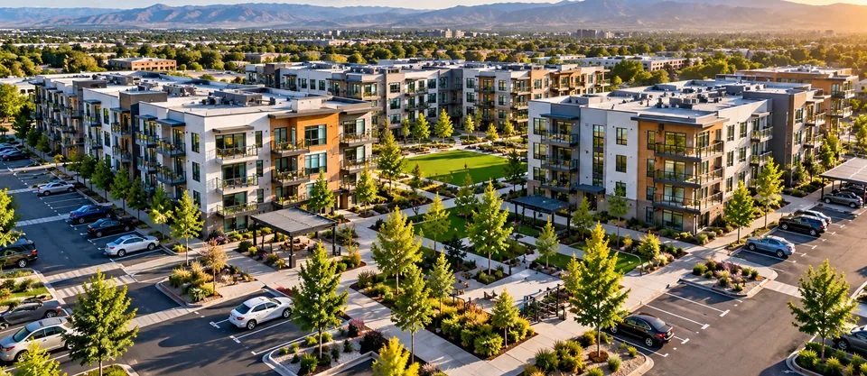
Scheduled weekly flights that give property owners and managers a dated visual record of each site.
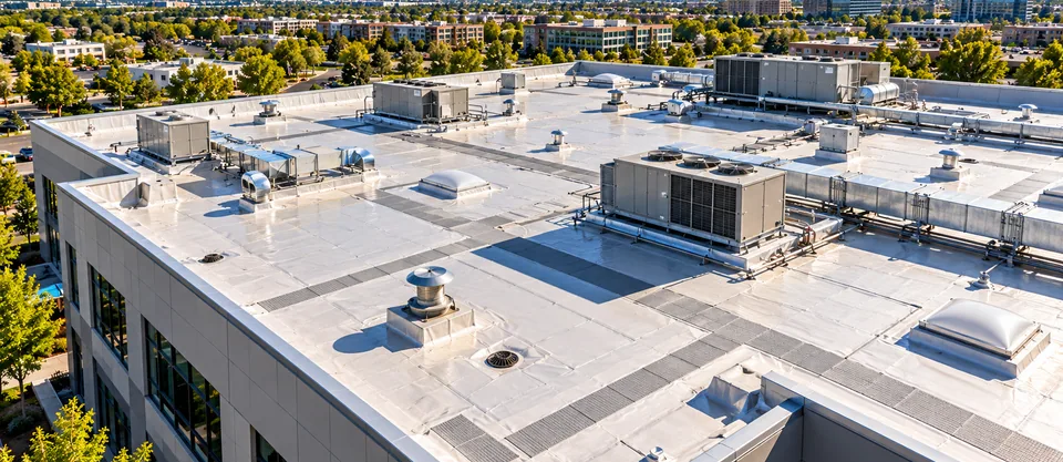
High-resolution visual and thermal roof inspections that document conditions and support maintenance planning.
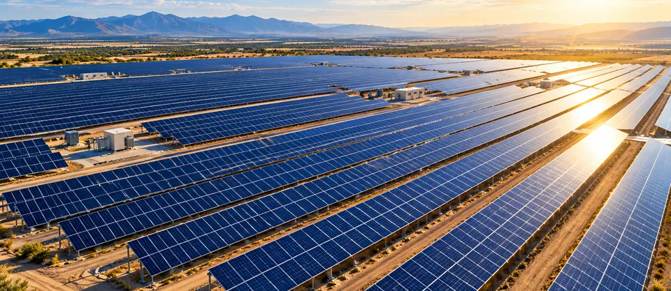
Visual and thermal inspection of solar arrays and supporting energy infrastructure, with site mapping where needed.

Property management
Product Advising flies each property on a set weekly schedule and files the imagery by date. Property managers get a running visual record, a log of open issues, and material they can send straight to owners.
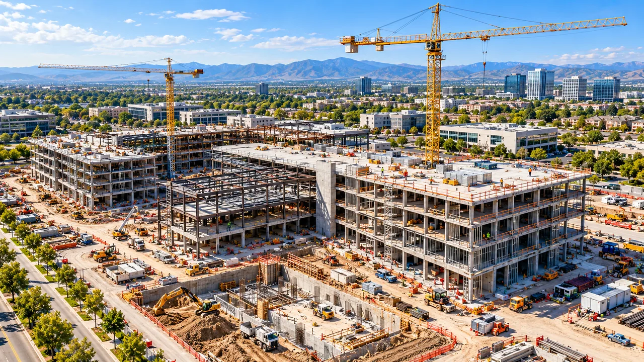
Construction & progress management
We fly the site at agreed intervals from pre-construction through closeout. Project teams, owners, and lenders review the same dated imagery, maps, and measurements.
Across your portfolio
Field mapping, crop imagery and irrigation infrastructure documentation.
Georeferenced orthomosaics, terrain surfaces and 3D site models.
Radiometric screening of roofs, solar arrays and industrial assets.
Documentation of sites, yards, equipment and hard-to-access assets.
How we deliver
Plan your first flight
Send us the site, the schedule, and the outputs you need. We will reply with a scope and a quote.