
Technology
Data Processing & Reporting
Aerial data processing built around reliable records, versioned analysis and portable client deliverables.
Read moreWe coordinate aircraft selection, safe mission planning, geospatial processing, thermal review and controlled delivery so field data reaches your team organized and traceable.
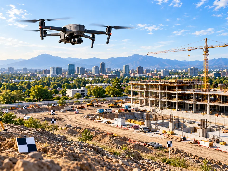
Capture locations, dates, platforms, conditions, camera metadata and original image records so every flight is traceable and reproducible.
Match imagery and context between visits so that differences can be reviewed meaningfully, visit over visit.
Deliver reports and organized evidence that state their uncertainty and the limits of interpretation. You do not receive a folder of raw files to sort through.
Aerial data processing built around reliable records, versioned analysis and portable client deliverables.
Read moreRTK-supported mapping is not a licensed land survey. We document expected quality and known limitations for each assignment.
Read moreA concept for inspection history, project documents, flagged issues and longitudinal comparisons. It is not an active, authenticated product today.
Read moreTell us what you need to document, measure or monitor.