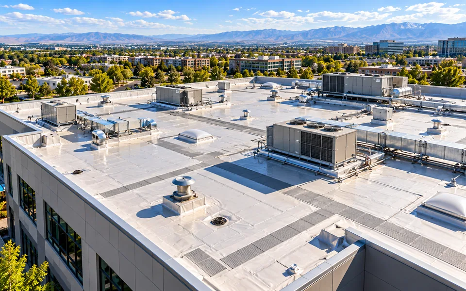

Commercial Real Estate
A repeatable weekly or monthly aerial record gives commercial real estate owners and managers a consistent, comparable view of every asset in the portfolio.
Explore industryAerial capture and reporting planned around how each type of site is built, operated and inspected.

A repeatable weekly or monthly aerial record gives commercial real estate owners and managers a consistent, comparable view of every asset in the portfolio.
Explore industryScheduled aerial capture, RTK mapping and volumetric measurement keep construction and development teams working from one current, verifiable site picture.
Explore industryWeekly or monthly scheduled flights build a structured, searchable condition history that supports owner communication and issue tracking.
Explore industryHigh-resolution roof surveys paired with thermal screening give contractors dated condition documentation and before/after repair comparisons.
Explore industryModule-level thermal and visual inspection helps O&M teams locate hotspots and decide which modules and strings to test on the ground.
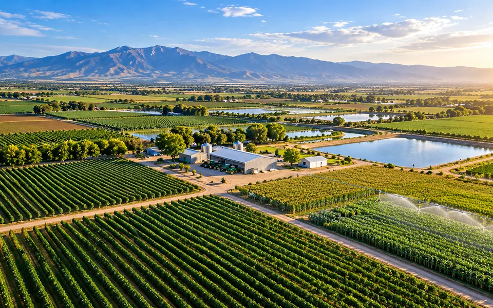
Explore industryRepeatable seasonal flights document field conditions, irrigation infrastructure and crop status across the growing season.
Explore industryFacility monitoring and targeted thermal surveys document hard-to-access equipment, roofs and yards from the air.
Explore industryInfrastructure documentation and RTK-supported mapping build a consistent, geolocated record for maintenance and capital planning.
Explore industryDated roof, exterior and thermal documentation gives adjusters and underwriters clear, consistent condition evidence.
Explore industryTell us what you need to document, measure or monitor.