Construction & Progress Management
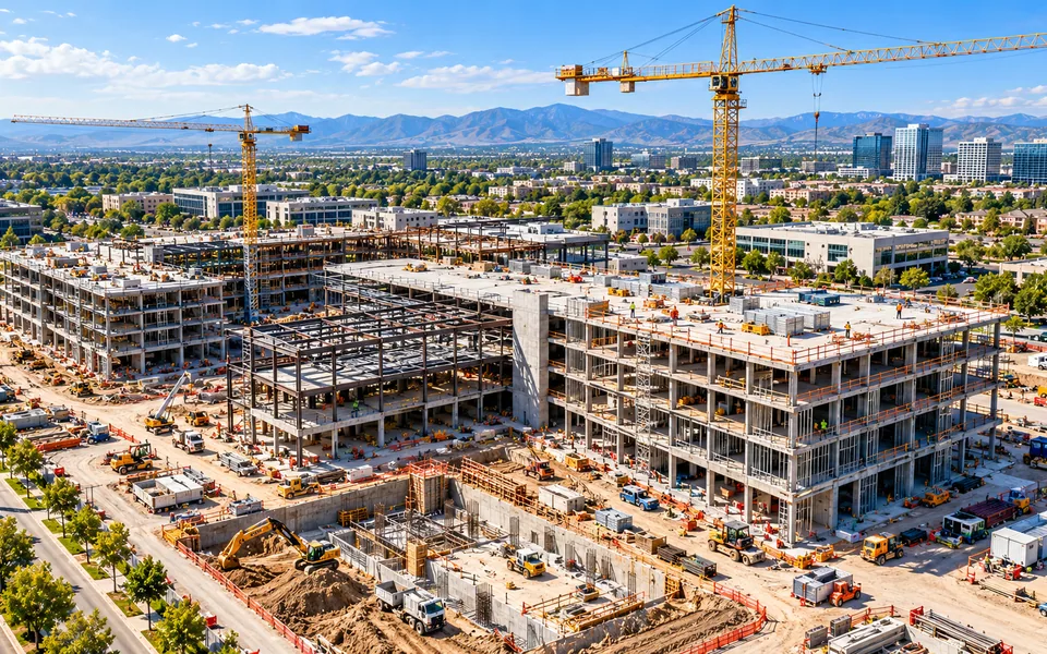
Dated aerial records of site progress, with mapping and earthwork volumes for milestone reviews.
Explore serviceRTK-supported photogrammetry built into orthomosaics, point clouds, 3D models and GIS-ready deliverables for teams that need precise, repeatable spatial context.
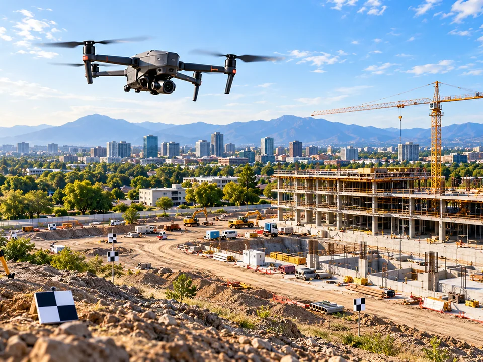
We plan each flight around the site, the questions you need answered, and the format your team will use the results in.
Georeferenced orthomosaic, point cloud and/or 3D model, volumetric calculations and GIS-compatible export formats, scoped to the engagement.
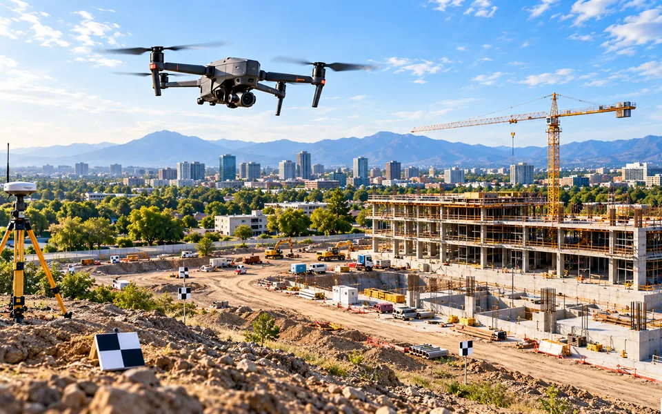
Final methods and deliverables are scoped per assignment.
Define locations, cadence, constraints and outputs.
Plan and safely execute each aerial mission.
Review imagery, compare dates and identify observations.
Share usable records and reports with your team.
Dated aerial records of site progress, with mapping and earthwork volumes for milestone reviews.
Explore serviceConsistent weekly aerial evidence across commercial property portfolios.
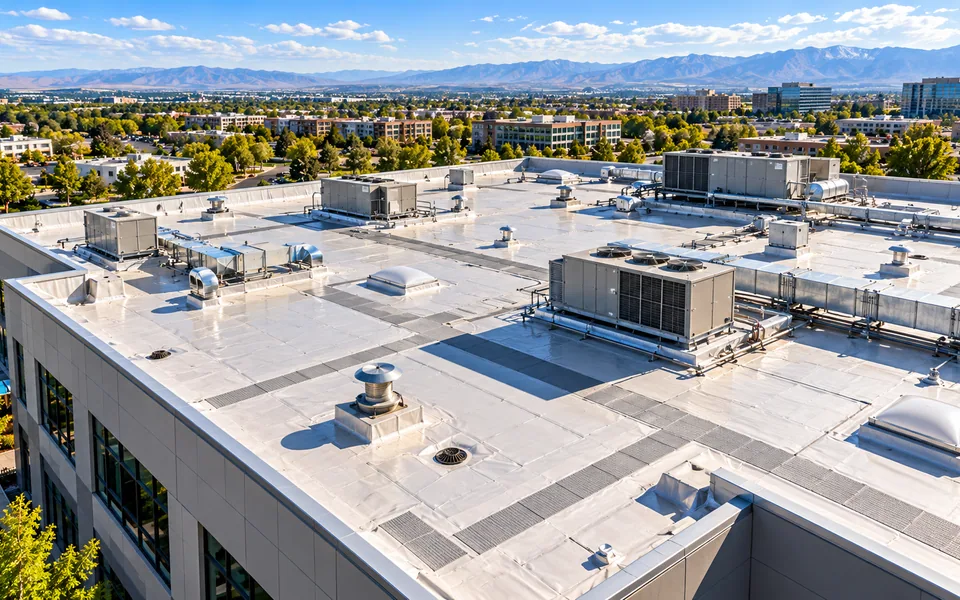
Explore serviceRepeatable high-resolution roof surveys, thermal screening and condition documentation.
Explore serviceTell us what you need to document, measure or monitor.