
Technology
Data Processing & Reporting
Aerial data processing built around reliable records, versioned analysis and portable client deliverables.
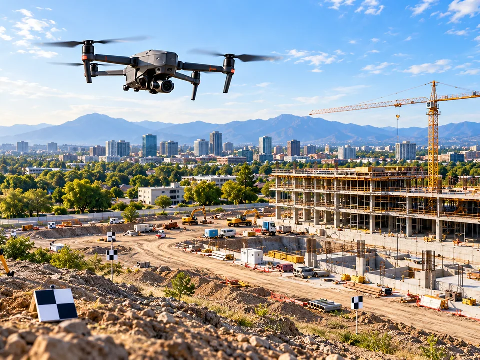
Each flight's imagery and telemetry is logged and versioned so a report can always be traced back to its source capture.
Processing pipelines produce orthomosaics, volumetric calculations and annotated comparisons in standard, portable formats your team can open without specialized GIS software.
Final deliverables are organized by property or project and indexed by capture date, so historical comparisons stay easy to navigate as the archive grows.
Next step
Start with a project scope.
Tell us what you need to document, measure or monitor.