Product Advising

Product Advising Geospatial / Mission

Launching Q4 2026

The network behind every mission.

Verified pilots. Specialized capabilities. Real-world opportunities.

Mission is a professional platform connecting commercial drone operators with organizations seeking specialized aerial services, from infrastructure inspections and construction monitoring to thermal imaging, mapping, and environmental intelligence.

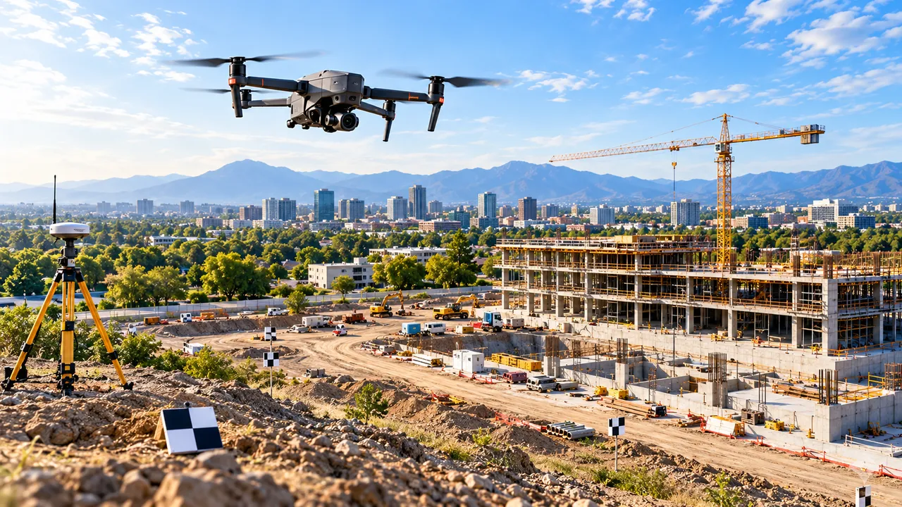
Survey drone in flight above a construction site, with a GNSS base station on a tripod and ground-control targets in the foreground
  • Launching Q4 2026The window for the initial platform launch.
  • Phased rolloutCapabilities open as their production controls are ready.
  • Profile claims not yet openThis page collects no registrations or documents.
  • Independent platformNot affiliated with or endorsed by the FAA.

Why Mission exists

Commercial drone operations need more than a directory.

Commercial drone work spans many professional disciplines. Two certificated remote pilots can differ widely in training, aircraft, payloads, service territory and industry experience. A roof survey, a utility corridor inspection and a photogrammetric site model ask for very different things.

Organizations need a way to weigh those differences when they source aerial work. Pilots need a credible way to present what they can actually do and to connect with work that fits. Mission is being built to connect those two sides of the market.

  • Professional identity

    A structured pilot identity that brings credentials and experience together in one reviewed profile.

  • Capability discovery

    Aircraft, sensors, service categories and coverage areas described in a way organizations can compare.

  • Commercial connection

    Bringing qualified operators and organizational requirements together around real projects.

  • Operational coordination

    A roadmap beyond discovery, toward coordinated planning and delivery of the work itself.

These four areas describe where the platform is headed. They open in phases, and none of them is presented here as available today.

For commercial drone pilots

Your credentials. Your capabilities. Your next opportunity.

Mission is designed to give certificated remote pilots a professional profile that reflects the work they are qualified and equipped to do. The intended experience:

  1. Find a corresponding listing in public FAA airmen data, where one is available.
  2. Claim the professional profile associated with that listing.
  3. Complete identity and credential review.
  4. Describe commercial experience and areas of specialization.
  5. Show the aircraft and sensors you operate.
  6. Define the geographic areas you cover.
  7. Become discoverable for relevant opportunities as matching capabilities launch.

Profile claiming is not open yet, and this page does not accept registrations.

For businesses and organizations

Find the right capabilities for the work ahead.

Mission is designed to help organizations find aerial service professionals by the requirements of the job: the sensor, the deliverable, the location and the experience the work calls for.

  • Commercial real estate and property inspections
  • Roof and building envelope inspections
  • Construction progress monitoring
  • Infrastructure and utilities
  • Energy and pipelines
  • Solar and thermal inspection
  • Agriculture and land management
  • Mapping, photogrammetry, LiDAR and geospatial analysis
  • Environmental observation and monitoring

A Part 107 certificate allows a pilot to fly commercially under FAA rules. On its own, it does not show expertise in thermography, photogrammetry or any other specialty. That is why Mission is designed to describe experience and capabilities separately from the certificate.

The professional foundation

Built on a foundation of professional aviation data.

Mission starts from the airmen certification information the FAA makes publicly releasable for holders of a Remote Pilot certificate. That information gives the platform a reference point for each listed certificate holder.

A reference is not a profile. A listing in public FAA data says nothing about a pilot's equipment, specialties or availability, and nobody has confirmed it belongs to the person who later claims it. Mission keeps the two clearly apart.

How a public registry reference differs from a claimed professional profile
Public registry referenceClaimed professional profile
Source Publicly releasable FAA airmen certification informationThe pilot, after claiming an associated listing
What it describes Only the limited details the FAA releasesExperience, specialties, aircraft, sensors and coverage areas
Review None by Mission. A reference point onlyIdentity and credential review before publication
How it is shown Marked as unclaimedMarked as verified once approved

Mission is operated independently by Product Advising LLC. It is not affiliated with, endorsed by or acting for the Federal Aviation Administration. A registry reference is not a verification by the FAA or by Mission, and this page shows no individual records.

Verification and professional trust

Trust begins with knowing who is behind the controls.

Mission's verification is designed in layers, so that each published profile rests on more than a single check. The process is rolling out in phases.

  1. Reference the public record

    Start from eligible, publicly releasable FAA airmen information.

  2. Pilot initiates a claim

    The pilot asks to claim the listing associated with them.

  3. Confirm the account email

    The pilot proves control of the email address on the account.

  4. Review identity and credentials

    Evidence is reviewed under approved procedures, by people.

  5. Independent reviewer decisions

    Profile approval requires decisions from independent reviewers.

  6. Clear status on every profile

    Verified profiles are distinguished from unclaimed public references.

  • Automated document reading may assist reviewers. It does not by itself authenticate an identity document or establish that an FAA certificate is valid.
  • This introductory page does not request or accept identity documents, certificates or any other personal information.
  • Mission's verification is its own process. It is not certified or approved by the FAA.

Platform direction

From discovery to mission execution.

  1. Discover

    Find relevant commercial remote pilots and professional capabilities.

  2. Verify

    Establish a reviewed professional profile under appropriate verification controls.

  3. Qualify

    Evaluate experience, credentials, aircraft, payloads, geography and project requirements.

  4. Connect

    Bring operators and organizations together around potential work.

  5. Coordinate

    Support future mission planning, communication, scheduling and execution.

This is the direction the platform is being built toward. It is not a statement that every stage is available today.

Applications and industries

Built for the work that happens beyond the flight.

Each sector asks for different aircraft, payloads, technical skills, safety procedures and deliverables. Mission is designed to make those differences visible.

  • Aerial view of a commercial construction site with tower cranes and structural framing

    Construction

    Recurring progress capture on a consistent schedule and flight path.

    Typical requirementsRepeatable flight plans, orthomosaics, site safety coordination

  • Aerial view of an office campus with several commercial buildings and parking

    Commercial property

    Condition documentation across buildings, roofs and grounds.

    Typical requirementsHigh-resolution imagery, roof access planning, organized reports

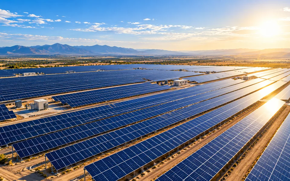
  • Aerial view of a ground-mounted solar array with rows of photovoltaic panels

    Energy and solar

    Array and equipment screening across large, exposed sites.

    Typical requirementsRadiometric thermal sensors, irradiance conditions, defect logs

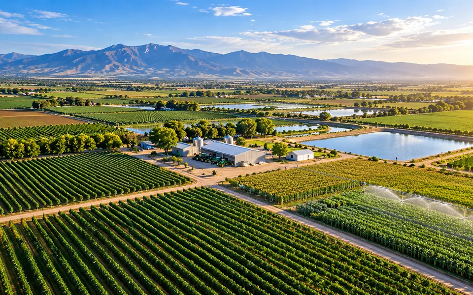
  • Aerial view of farmland with crop rows, irrigation and a farm equipment yard

    Agriculture

    Field, drainage and land condition observation through the season.

    Typical requirementsMultispectral or RGB mapping, large-area coverage, timing

  • Infrastructure

    Structures and corridors where access is difficult or costly.

    Typical requirementsClose-proximity flight skill, zoom payloads, inspection reporting

  • Utilities and pipelines

    Linear assets that extend over long distances.

    Typical requirementsCorridor planning, airspace coordination, geotagged findings

  • Environmental services

    Observation of land, water and habitat over time.

    Typical requirementsRepeatable surveys, sensor calibration, careful site conduct

  • Mapping and surveying support

    Photogrammetry and LiDAR data for project teams and licensed surveyors.

    Typical requirementsRTK or PPK workflows, ground control, accuracy reporting

Requirements differ by project. Some operations need additional FAA authorizations or waivers, site permissions or insurance. A listed capability does not mean an operator holds them.

Launch roadmap

Launching Q4 2026. Expanding in phases.

  1. Phase 1Launching Q4 2026

    Initial platform launch

    The public introduction to Mission, registry discovery where approved, and the first production-ready professional account capabilities.

  2. Phase 2Planned

    Professional identity

    Pilot profile claims, email verification, evidence review and publication of approved profiles, once the production controls are ready.

  3. Phase 3Planned

    Network development

    Expanded capability detail, discovery by geography and industry, and richer professional profiles.

  4. Phase 4Planned

    Commercial workflows

    Opportunity matching, organizational engagement and coordination functions as they mature.

Launching Q4 2026 is the window for the initial platform launch. Later phases follow as each one is ready, and individual features have no fixed release dates.

Mission

A stronger foundation for commercial drone operations.

Mission is bringing professional identity, specialized aerial capabilities, and real-world opportunity into a more connected ecosystem.

Launching Q4 2026.